Last Updates
Updated 9/28/24 – 10:00 am ET
- Current Status: Hurricane Helene became a Tropical Storm, producing damaging gusty winds and life-threatening flooding across portions of the Southeast and Southern Appalachians. Helene’s maximum sustained winds were at 60 mph, with a central pressure of 972 mb. The storm weakened and became Post-Tropical Cyclone Helene later on Friday, September 27.
- Movement: Helene was seen moving north at 30 mph but was predicted to slow down and turn northwestward over the Tennessee Valley on Friday, September 27 to Saturday, September 28.
- Hurricane Warning: There were no active hurricane warnings, but a Tropical Storm Warning was in effect from Altamaha Sound northward to Little River Inlet, with tropical storm conditions ongoing along the Georgia and South Carolina coasts.
- Storm Surge Warning: A life-threatening storm surge was possible along the Florida coast, with water levels of 5-10 feet from Aucilla River to Chassahowitzka and 3-6 feet from Indian Pass to Aucilla River. Other areas along the coast will see surges of 3-5 feet.
- Rainfall Forecast: Helene was expected to bring 6 to 12 inches of rain across the Southeast and Southern Appalachians, with isolated totals up to 20 inches. This rainfall could result in catastrophic flooding, record river levels, and landslides in steep terrain. A flash flood emergency was put into effect for metropolitan Atlanta.
As part of Tidal Basin’s ongoing series on named storms for the 2024 Atlantic hurricane season, we turn our attention to the development of Tropical Storm/Hurricane Helene. It is crucial to understand and prepare well in advance for the possibility of a hurricane to minimize risk and ensure safety.
This proactive approach is important given the National Oceanic and Atmospheric Administration’s (NOAA) forecast for an above-normal hurricane season. Driven by several key factors NOAA’s Climate Prediction Center forecasters predict an 85% likelihood of an above-normal hurricane season. These include elevated ocean temperatures in the Atlantic, the onset of La Niña conditions in the Pacific, reduced Atlantic trade winds, and decreased wind shear, all of which create favorable conditions for tropical storm formation. Within this forecast, experts expect between 17 and 25 named storms, with 4 to 7 likely developing into major hurricanes.
Considering these projections, it is more important than ever to stay informed and prepared.
The Formation Process of Tropical Storms
Tropical storms form over warm ocean waters near the equator through a series of steps. Warm ocean water, with sea surface temperatures of at least 26.5°C (80°F), provides the necessary energy for storm development. Atmospheric instability, where warm, moist air rises, creates a low-pressure area. The Earth’s rotation, known as the Coriolis effect, causes the storm to spin. Continuous evaporation from the ocean surface fuels the storm with moisture, while low wind shear is necessary for the storm to grow vertically.
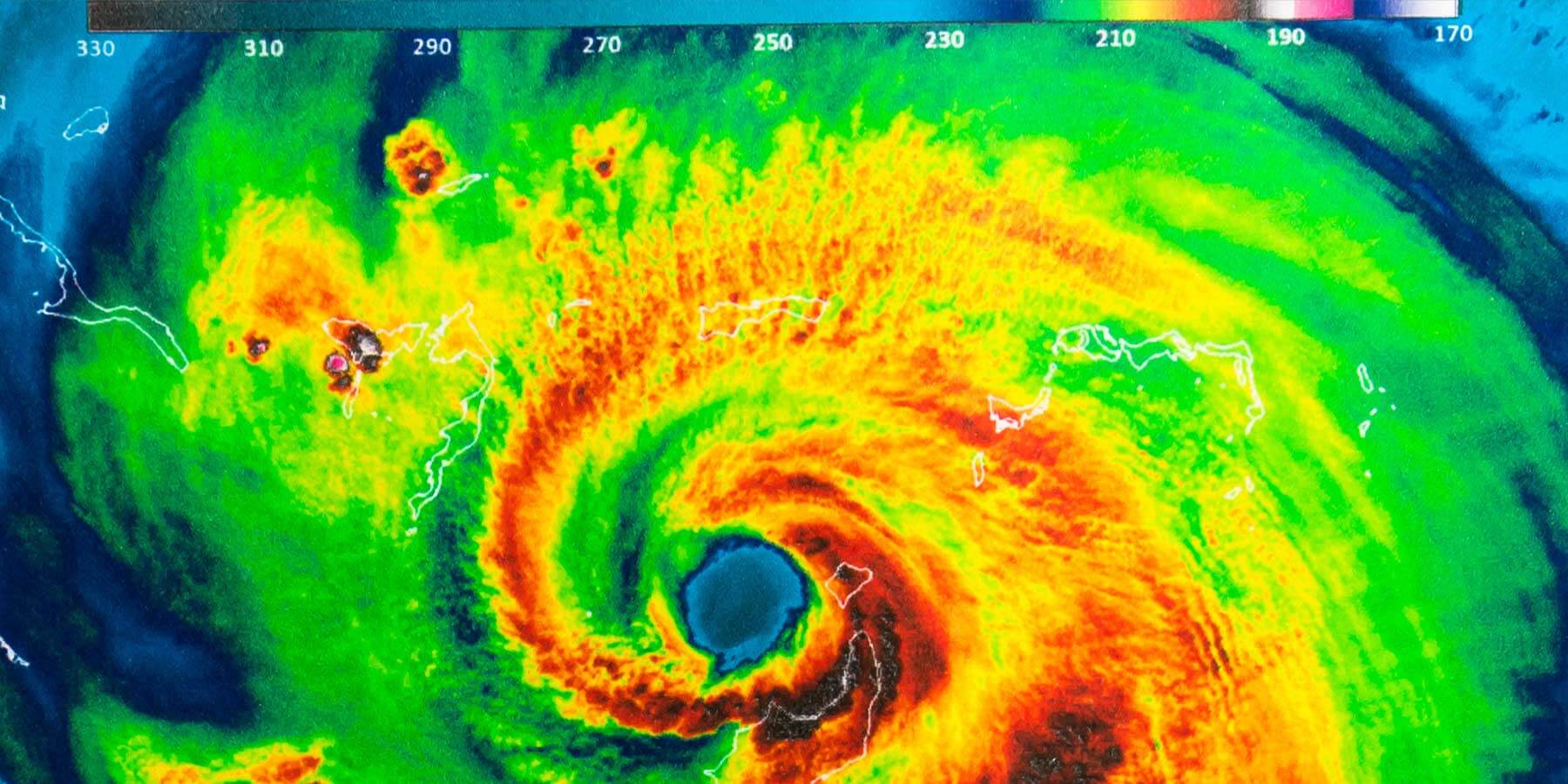
As the tropical depression intensifies and its sustained winds reach 39 to 73 mph, it is upgraded to a tropical storm and given a name. The storm now has a more defined cyclonic structure, with a clear center and organized bands of thunderstorms. If these conditions continue, the tropical storm can continue to strengthen and develop into a hurricane. This occurs when sustained winds reach 74 mph or higher. This is when Tropical Storm Helene could turn into Hurricane Helene. The storm’s structure becomes even more organized, often developing a distinct eye at the center, surrounded by a dense ring of thunderstorms known as the eyewall.
Potential Impacts of Tropical Storm or Hurricane Helene
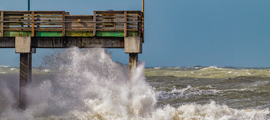
Helene will bring strong winds and heavy rainfall, which could lead to power outages, flooding, and structural damage. Coastal areas are particularly vulnerable to storm surges, which occur when strong winds push seawater onto land, causing severe flooding and erosion.
Previous Tropical Storms Named Helene
The name Helene has been used for several storms in the past. Here’s a look at some notable ones:
| Year | Type | Regions Affected | Impact |
|---|---|---|---|
| 1958 | Hurricane | Caribbean, United States | Hurricane Helene of 1958 caused extensive damage, particularly in the southeastern United States. The storm led to significant flooding, infrastructure damage, and unfortunately, loss of life. |
| 2006 | Hurricane | Atlantic Ocean | Hurricane Helene in 2006 primarily remained over the open waters of the Atlantic, posing minimal threat to land. The storm was closely monitored by meteorologists and served as a case study in tracking and predicting hurricane behavior. |
| 2018 | Hurricane | Cape Verde, Azores | 2018’s Hurricane Helene passed near the Cape Verde Islands and later impacted the Azores. It brought moderate damage and heavy rainfall to these regions, causing localized flooding and minor structural damage. |
How Technology Helps Predict Storms
Modern technology plays an important role in predicting and tracking tropical storms. Satellite imagery provides detailed, real-time data on storm development and movement, allowing meteorologists to monitor storms like Helene closely. Computer models, which consider factors such as sea surface temperatures, wind patterns, and atmospheric conditions, help predict the path and intensity of tropical storms. These models are constantly updated with new data, providing increasingly accurate forecasts that can inform public safety measures and emergency responses.
Hurricane Preparedness Recommendations
NOAA offers comprehensive resources for hurricane preparedness. They recommend the following steps to ensure that individuals and communities are well-prepared for the hurricane season:
- Stay Informed
Check for updates regularly from trusted sources such as NOAA, the National Hurricane Center (NHC), and local authorities. Staying informed about potential storm developments and forecast updates is crucial for timely decision-making. - Make a Plan
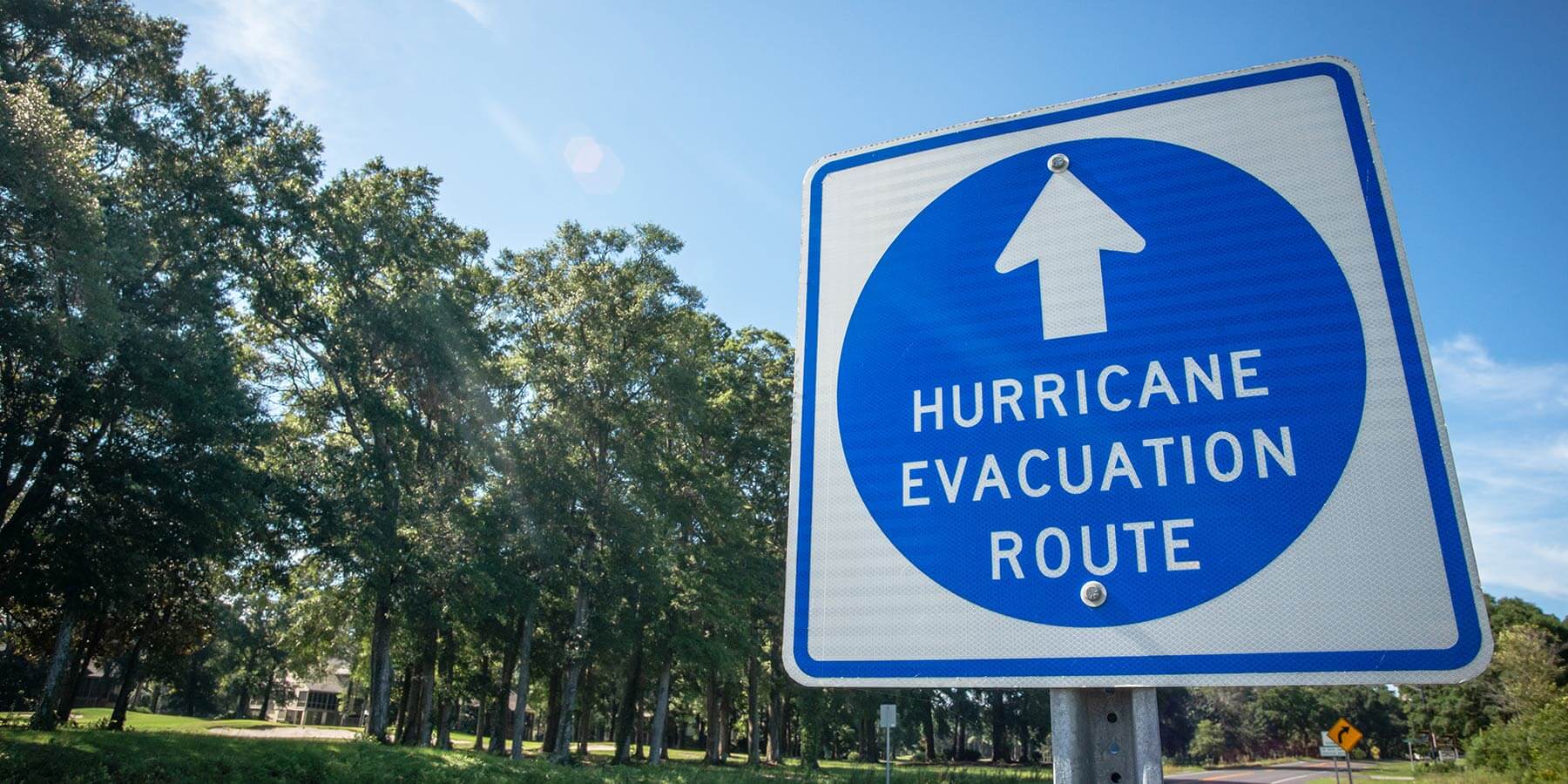
Develop a detailed hurricane preparedness plan for your family. This plan should include evacuation routes, shelter locations, and communication strategies. Ensure that all family members know the plan and know what to do in a storm. - Build a Kit
Assemble an emergency kit with essential supplies to last several days. Include items such as non-perishable food, water, medications, first aid supplies, flashlights, batteries, and important documents. Consider the specific needs of your family members, including pets, when building your kit. - Strengthen Your Home
Take measures to protect your property from high winds and flooding. This includes securing loose items, installing storm shutters or boarding up windows, and ensuring that your roof is secure. Additionally, consider investing in flood barriers or sandbags if your home is in a flood-prone area.
Keeping an Eye Out for Tropical Storm/Hurricane Helene
By understanding the science behind tropical storms and hurricanes and taking proactive measures, communities can better withstand the impacts of these natural events.
Take the next step in your hurricane preparation efforts by visiting our Hurricane Resource Center. By staying informed and prepared, we can mitigate the risks associated with tropical storms and hurricanes, improving safety and resilience in our communities.


