Andrew Smart is a Geospatial Technology Director at Michael Baker International. He supports Michael Baker International’s National Geospatial Practice as a subject matter expert on the ArcGIS Enterprise System and cloud services. Smart works with a broad range of industry sectors, including public safety, emergency management, utilities, local government, and transportation.
Smart specializes in designing high-performance GIS system architectures for critical systems deployed in both on-premises and cloud environments that require 24/7 uptime. He assists clients with leveraging the full scale of the ArcGIS System, from designing custom solutions, system integrations, real-time processing platforms, and autonomous systems utilizing ArcGIS Online and ArcGIS Enterprise.
Smart is responsible for driving GIS technology through consulting solution delivery and continually looking for and applying new technology trends to services offered to clients.
Related resources
Related insights and news

Tidal Basin Welcomes E. Scott Tezak as Chief Operating Officer
Tidal Basin is pleased to announce that E. Scott Tezak, PE, has joined our team as Chief Operating Officer (COO)….

Tidal Basin Launches Alaska’s Emergency Shelter Program
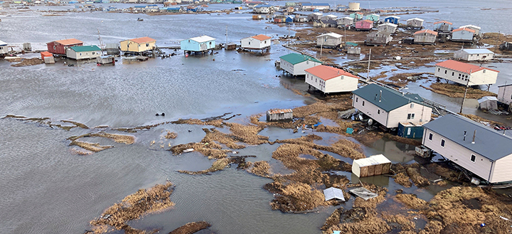
In the wake of Typhoon Halong, which brought catastrophic flooding and widespread destruction to western Alaska, a swift and decisive…

Tidal Basin Welcomes Kevin Bush, Senior Director and Practice Lead
Tidal Basin is pleased to announce that Kevin Bush has joined our team as a Senior Director and Practice Lead…